


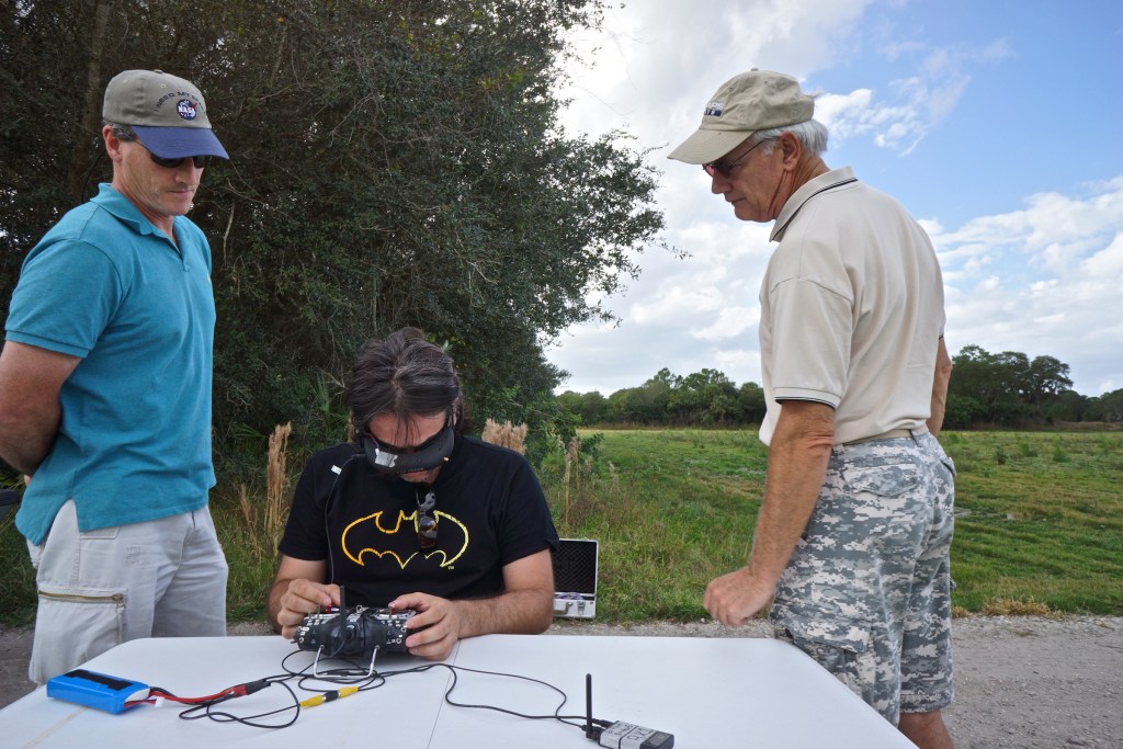
Was I a Drone Photography Pioneer? From National Geographic to U.S. Patents
An unexpected journey through early aerial photography, art, university classrooms, humanitarian mapping, and conservation science.
Was I a pioneer in drone photography?
It’s a question I’ve occasionally asked myself, although I’ve never been entirely comfortable with the word pioneer.
What does it really mean to be a pioneer?
Is it about being the first person to do something? Recognizing an opportunity before it becomes widely understood? Experimenting with unfamiliar technology? Or sharing discoveries that might help others move forward?
Recently, I began revisiting my photographic archives, old articles, and books from the early days of civilian drone technology.
What began as a journey through old memories turned into something unexpected.
I discovered that an article I wrote for National Geographic Voices in 2014 appeared in the references of multiple United States patents. I found my photographs and publications listed in university teaching materials. I revisited a humanitarian mapping project in Nepal and the extraordinary generosity of scientists who encouraged my work.
It felt almost like investigating someone else’s career.
But it was mine.
And it made me wonder how much of our professional lives we truly understand while we are busy living them.
Before Drones, I Photographed from Helicopters
Long before I began experimenting with small unmanned aircraft, I had already experienced the excitement of aerial photography.
I remember photographing from helicopters in Panama, looking through the window as familiar landscapes transformed into extraordinary geometric compositions.
It was exhilarating.
But aerial photography was also expensive, logistically complex, and not always accessible to independent photographers.
A flight required an aircraft, a pilot, careful coordination, suitable weather, and a considerable budget.
And even then, the photographer could not always position the camera exactly where imagination suggested.
I began wondering what it would be like to control not only the camera but also its position in the sky.
What if I could move freely around a subject, change altitude, and discover new compositions without chartering an aircraft?
When the first small civilian drones began gaining attention, I immediately recognized their extraordinary photographic potential.
Of course, aerial photography had existed for generations. Photographers had worked from balloons, airplanes, helicopters, and remotely controlled aircraft long before I entered the field.
But something was changing.
Tools that once required substantial resources were becoming available to individuals willing to experiment.
For someone fascinated by exploration, photography, and new perspectives, the possibilities were irresistible.
October 2013: When a Conference Opened a New World
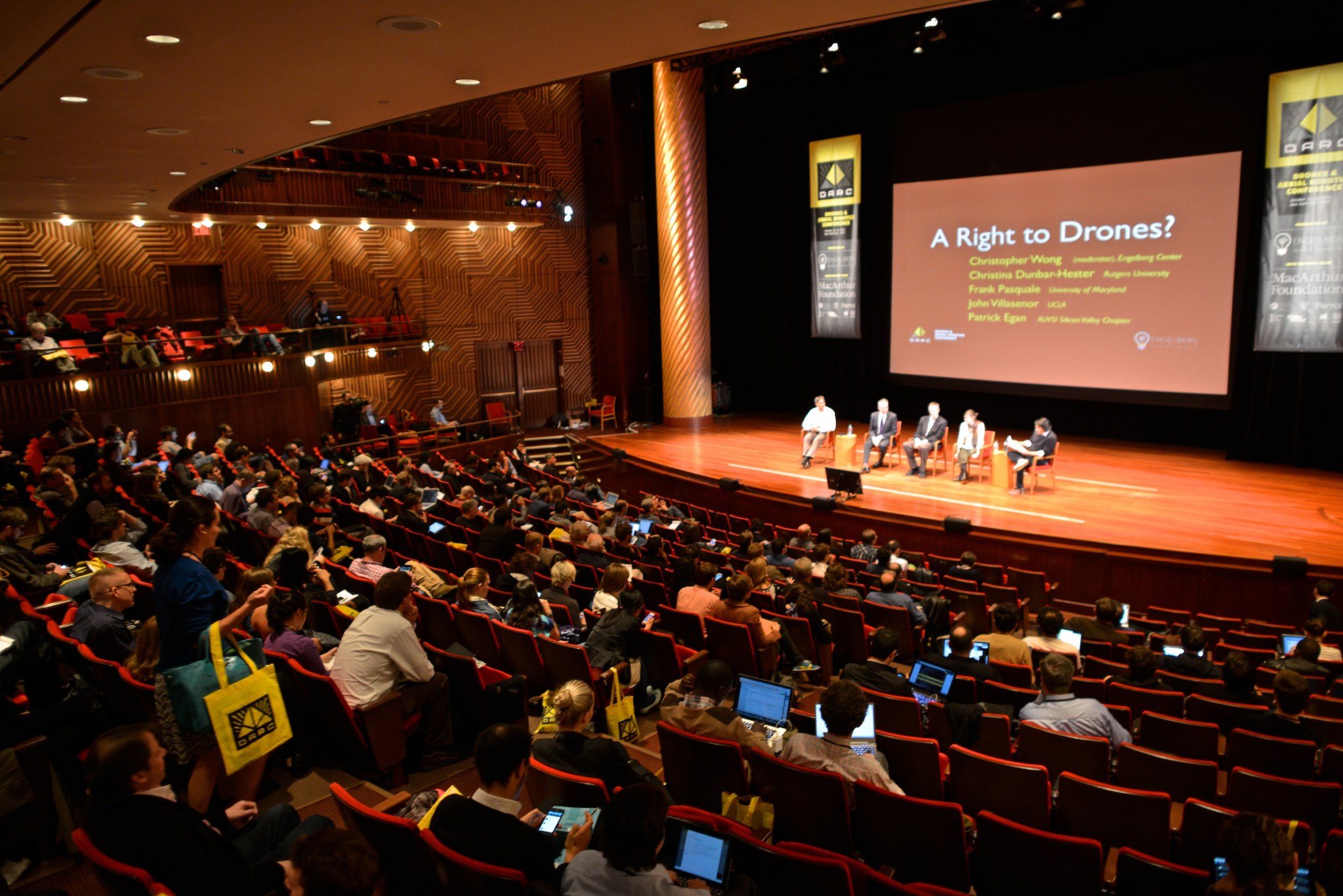
In October 2013, I attended the Drones and Aerial Robotics Conference at New York University.
At the time, public conversations about drones were dominated by military applications, surveillance, privacy, and safety.
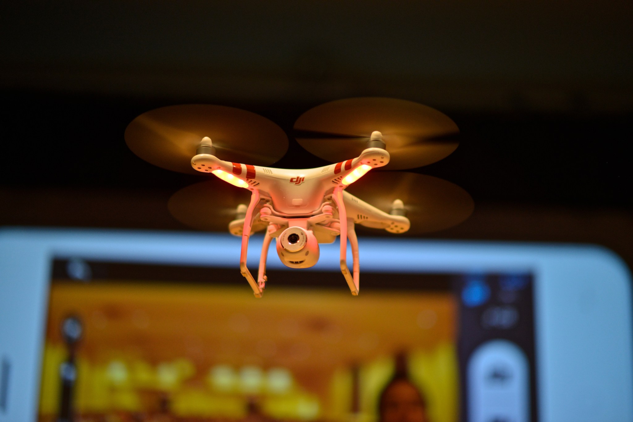
Those concerns were legitimate. But walking through the conference, meeting people experimenting with aerial robotics, and observing early DJI Phantom quadcopters, I saw other possibilities.
Could these machines become instruments for environmental research?
Could they help document archaeological sites?
Might they make aerial photography accessible to artists and independent storytellers?
And what if we could use them to create entirely new forms of visual expression?
I photographed the event.
One of my photographs accompanied a ProPublica report titled Drone Makers Gather to Defend Their Much-Maligned Machines, published in October 2013.
Read the original ProPublica report
Looking back, that conference was an important turning point for me.
I was witnessing a technology that had not yet settled into the everyday world of travel photography, filmmaking, and scientific fieldwork.
More importantly, I wanted to participate in the conversation about what it might become.
In an interview published by Conservation Careers in December 2015, I described how the conference had captured my imagination and inspired me to begin writing about drones for National Geographic.
Read my 2015 Conservation Careers interview
Those words are particularly meaningful to me today because they were recorded when these experiences were still fresh, long before I had any reason to look back on them as history.
2014: Sharing My Experiments with National Geographic Readers
In the months that followed, I became increasingly involved in experimenting with drone technology.
I explored DJI Phantom systems, camera mounts, radio controllers, first-person-view goggles, and the practical challenges of operating small flying cameras.
Some flights went beautifully.
Others were exercises in patience.

Equipment required constant attention, and every experiment revealed something new about the relationship between technology and photography.
I began publishing articles in National Geographic’s online Voices platform as part of a series about drones and small unmanned aerial systems.
From 2013 to 2018, I had the privilege of contributing dozens of articles to National Geographic Voices, originally known as National Geographic News Watch. The platform brought together explorers, scientists, photographers, conservationists, and storytellers from around the world, sharing firsthand accounts of exploration, scientific discoveries, cultural traditions, environmental challenges, and emerging technologies. It offered an extraordinary opportunity to explore ideas beyond the boundaries of traditional photography and connect with a global audience.
I owe a special thank-you to David Braun, whose editorial vision helped make this platform possible and who gave me the opportunity to contribute regularly over those five years. His trust and encouragement allowed me to follow my curiosity, investigate new ideas, and share discoveries with readers around the world. Looking back, I realize how much that opportunity shaped my journey as a photographer, writer, and explorer. Thank you, David, for opening that door.
My goal was to share discoveries, introduce readers to emerging applications, and explore how these machines might transform photography and research.
On March 5, 2014, I published an article titled So You Want to Shoot Aerial Photography Using Drones?
At the time, I saw it as one more contribution to a rapidly evolving conversation.
I certainly wasn’t imagining that anyone might be reading it years later while researching patents.
But that is exactly where the story becomes interesting.
Did You Know? My National Geographic Article Appears in U.S. Patent Records
One of the most surprising discoveries from my recent archival research was finding my 2014 National Geographic article cited in United States patent documentation.
One example is U.S. Patent 10,032,078 B2, granted July 24, 2018, and titled Unmanned Aircraft Structure Evaluation System and Method.

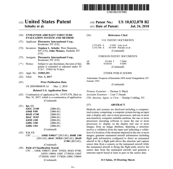
Within its non-patent references, the record identifies:
Kike Calvo — So You Want to Shoot Aerial Photography Using Drones? — National Geographic — March 5, 2014.

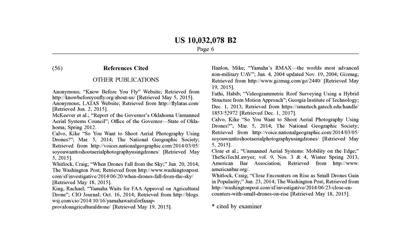
The reference also includes a retrieval date of May 5, 2015.
Examine U.S. Patent 10,032,078 B2
The discovery led me to examine related documents.
I found the same National Geographic article cited in at least eleven related granted U.S. patent records issued between 2018 and 2024.
The patents belong to a related family associated with Pictometry International and concern technologies such as unmanned aircraft structure evaluation and obstacle avoidance.
Let me make an important distinction.
I am not an inventor named on those patents.
Nor does the presence of my article establish that I invented the technology, inspired the inventors, or played a role in developing the patented systems. In fact, the patent family’s earliest claimed priority predates my March 2014 publication.
What the documents establish is something different: my early National Geographic writing became part of the cited technical literature associated with these patent records.
For someone whose career has focused on photography, journalism, and communication, that is meaningful.
An article intended to help readers understand a developing technology had found its way into a formal technical record.
I began wondering how many other articles, photographs, and ideas might have traveled into places I never expected.
And that curiosity led to another discovery.
From My Camera to University Classrooms
I have always believed that photography and education are deeply connected.
A photograph can inspire curiosity. An article can make a complicated subject understandable. A visual story can introduce people to ideas they might never otherwise encounter.
Still, I was surprised to discover references to my drone work in university educational materials.
The University of Colorado Boulder maintains a resource exploring the relationship between unmanned aircraft systems and the arts.
Within its section devoted to dance, it includes my 2015 National Geographic aerial photography project.
Explore the University of Colorado Boulder reference
I also found a 2016 presentation prepared for a geographic information systems course at Brookhaven College in Texas.
The presentation, UAV/S in GIS, contains a section of educational resources pointing to my 2014 National Geographic article, my drone photography collections, and my drone pilot logbook.
View Brookhaven College’s original 2016 presentation
These are educational references, not peer-reviewed research papers evaluating my scientific contributions.
But they reveal something I find particularly satisfying.
My experiments and publications were useful enough to be included among resources introduced to students learning about an emerging field.
I never set out to become an engineer.
I was a photographer asking questions.
Yet those questions created connections with subjects and people far beyond the traditional boundaries of photography.
When Drone Photography Became Art
Before my involvement with drones, I had already been exploring the relationship between artistic expression and scientific ideas.
Through World of Dances, I photographed dancers in landscapes, architectural spaces, and culturally significant locations.
During 2012–2013, I was also involved in a Yale-linked interdisciplinary project called Discovering the Higgs Particle through Physics, Dance and Photography.
The idea of connecting artistic disciplines with science was therefore not new to me.
Drones simply opened another door.
I began wondering what would happen if I photographed ballet dancers from directly above.
What if the landscape became part of the choreography?
What if waves, sand, architecture, and human movement could form a single composition?
On Costa Rica’s Caribbean coast, I photographed dancers Lu Baltodano and Tahere Barinju Dada amid patterns of ocean foam.


From the air, their movements became part of the geometry of the shoreline.
I also experimented with aerial dance photography in other settings, including collaborations with Gonzalo Garcia, then a principal dancer with New York City Ballet.
In June 2015, I published Art and Dance in the Drone Age.
Explore my original aerial ballet photographs
I was not the first artist to experiment with aerial imaging, and many creative people were discovering the possibilities of drones at the same time.
But these experiments represented an important part of my own contribution.
I was interested in taking an emerging technology beyond its expected uses.
For me, drones were becoming more than flying cameras.
They were becoming artistic instruments.
Three Publications, Three Different Ways of Sharing Knowledge
Between June 2015 and December 2016, I published three resources that illustrate how my interests were evolving.
The first was Drone and sUAV Pilot Logbook, released in June 2015.
It was a practical publication designed to help pilots record flight information and document their missions.
At the time, the regulatory and operational environment for civilian drones was still developing. The FAA’s Part 107 framework for routine commercial small-drone operations in the United States would not take effect until August 2016.
My interest in recordkeeping reflected something I was learning firsthand: responsible flight required more than creativity and technical enthusiasm.
The second publication was So You Want to Create Maps Using Drones? Photogrammetry Field Guide for Photographers, Researchers and Conservationists, released in September 2015.
The book introduced readers to photogrammetry, georeferencing, orthomosaics, and three-dimensional mapping.
It included a foreword by Xuhui Lee, the Sara Shallenberger Brown Professor at Yale University.

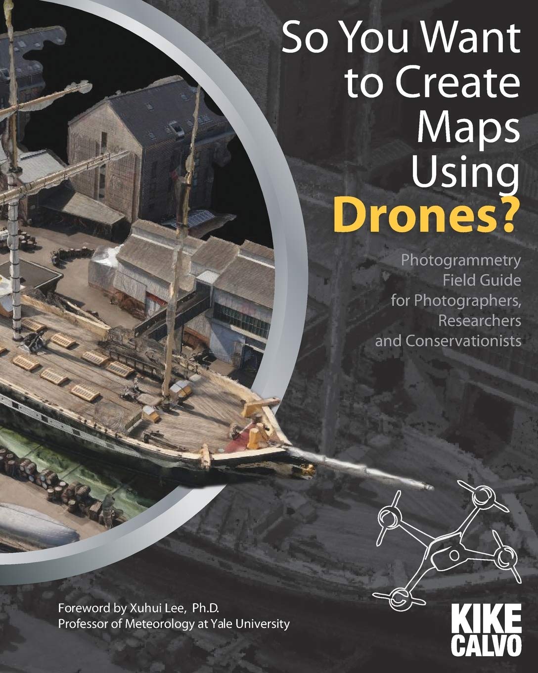
Explore the 2015 photogrammetry guide
His contribution meant a great deal to me because it reflected the value of communicating technical concepts across disciplines.
The third publication was Drones for Conservation, released in December 2016.
By then, my interests had expanded toward wildlife research, environmental monitoring, remote communities, and conservation.
That book would bring another scientist into the story—someone whose generosity and mentorship became particularly important in my life.
Looking back at these three publications, I can see a progression.
First, I wanted to understand how to fly and document missions responsibly.
Then I wanted to learn how photographs could become useful geographic information.
Eventually, I wanted to explore how this technology could help people understand and protect the natural world.
Nepal: When Photographs Became Maps
In September 2015, I traveled to Nepal to document a humanitarian drone-mapping initiative following the devastating earthquake that struck the country in April.
The project involved Pix4D, DJI, UAViators, Kathmandu University, Kathmandu Living Labs, and local partners.
My role was to document the collaborative work photographically for Pix4D.
The teams were exploring how drone imagery and photogrammetry could help create detailed maps of earthquake-affected communities.
In Panga, participants used DJI Phantom 3 aircraft to capture approximately 900 photographs during nine short flights totaling around 45 minutes.
The images were processed into maps and three-dimensional representations of the damaged area.

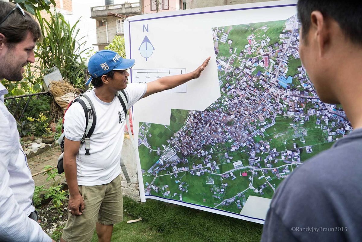
One particularly impressive result was an orthomosaic with approximately 3.4-centimeter resolution.
But those technical details tell only part of the story.
What mattered most to me was the human experience surrounding the technology.
There were damaged buildings, debris, families recovering from disaster, and students working to acquire skills that could benefit their communities.
The most valuable result was not simply the production of maps.
It was the opportunity for local participants to learn methods they could continue using.
Explore the original Pix4D report on the Nepal mission
That experience reinforced a conviction I continue to hold.
Technology should not merely arrive in a community, collect information, and disappear.
Whenever possible, it should help create lasting knowledge and capability.
For me, Nepal was one of the clearest examples of what aerial photography could become when combined with science, collaboration, and a genuine desire to help.
Thomas Lovejoy: When Curiosity Meets Mentorship
One of the most meaningful connections in this story involves the late conservation biologist Thomas E. Lovejoy.
Tom was an internationally respected scientist who helped transform how the world understood biodiversity conservation.
I had photographed him during events at Yale University, but our friendship developed when we traveled together in Patagonia aboard a National Geographic–Lindblad expedition.
Over time, he became an informal mentor.


What I remember most was his generosity.
He encouraged curiosity, shared knowledge, and supported people who were trying to connect different fields.
When I began developing Drones for Conservation, I asked him to contribute the foreword.
He agreed.
In the book, published December 6, 2016, he wrote:
“So Drones for Conservation is very much a first.”

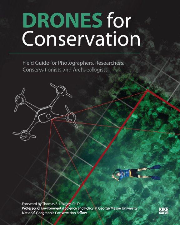
Those words carried special meaning coming from someone with his scientific experience.
But Tom’s foreword was not an argument that technology could replace traditional research.
Quite the opposite.
He recognized the potential of drones while emphasizing the irreplaceable value of careful planning and fieldwork.
Read the original book description and Thomas Lovejoy’s foreword
On December 15, 2016, E—The Environmental Magazine, through EarthTalk, published a feature about the book.
The article discussed potential applications in conservation and archaeology, along with the importance of mission planning, working with remote communities, and understanding new imaging technologies.
Read the contemporary 2016 environmental publication
I was grateful that ideas I had been exploring through photography were reaching readers interested in environmental protection.
But the most lasting contribution of this period was the mentorship and friendship that accompanied it.
After Tom passed away in December 2021, I wrote a personal tribute.
Read my remembrance, To the Gentleman of Biodiversity: Tom Lovejoy
Looking back, I realize how much my journey was shaped by people who saw connections where others saw separate disciplines.
Art and science.
Photography and conservation.
Technology and community knowledge.
Tom helped me understand that those connections could lead to meaningful work.
Did My Early Drone Work Reach National Geographic’s Almanac?
Another intriguing piece of my history involves National Geographic Almanac 2019, published in October 2018. Biographical profiles from The Safina Center and Santa Fe Photographic Workshops have noted that my early drone photography was recognized as “genius” in the publication. It was an unexpected acknowledgment of my experiments with aerial imaging, creativity, and exploration.
The book itself was released in October 2018.

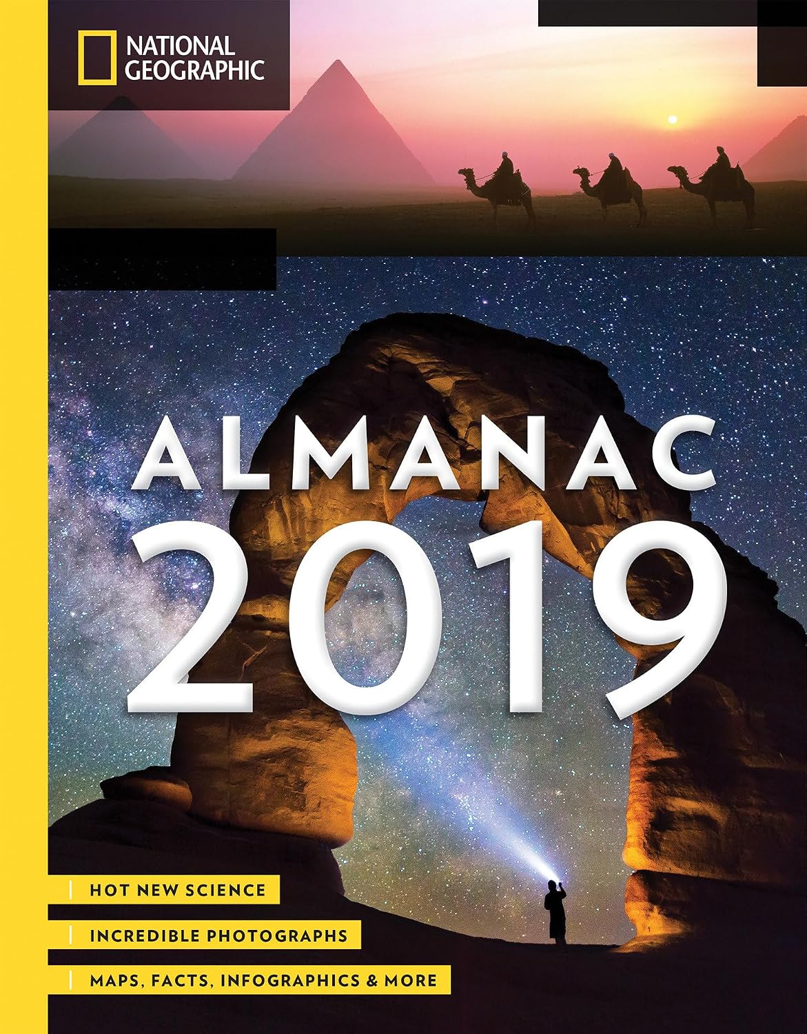
I am still interested in recovering the exact original page and wording, so this part of the record deserves a little additional archival research.
What matters to me is the broader question behind that recognition.
Why were drones attracting so much attention?
I believe the answer lies in the remarkable range of disciplines they were beginning to connect.
Photography.
Architecture.
Ecology.
Archaeology.
Geography.
Wildlife research.
Disaster response.
Creative expression.
These machines were making new perspectives accessible to people who previously might never have had the resources to explore them.
And I was fortunate enough to participate during those early years.
Did You Know? Discoveries From My Drone Archives
My 2014 National Geographic writing appears in U.S. patent references.
The article is listed in multiple related patent records, including a patent issued in 2024—more than a decade after the original publication.
My aerial dance photography appears in a University of Colorado Boulder educational resource.
The reference places my experiments alongside other examples of how drones and artists were exploring new relationships between technology and performance.
A 2016 GIS course presentation at Brookhaven College linked to my drone writing and resources.

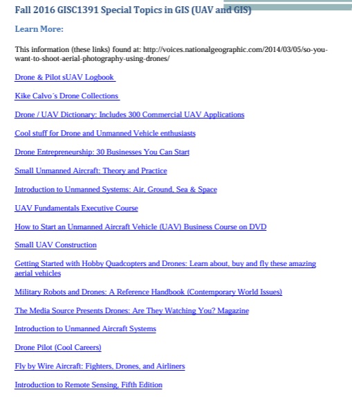
The presentation connected readers with my National Geographic article, photographic collections, and pilot logbook.
My photogrammetry field guide had a foreword by a Yale professor.
Xuhui Lee helped introduce readers to the possibilities of transforming photographs into scientifically useful geographic information.
Thomas E. Lovejoy wrote the foreword to my conservation book.
His support helped connect my photographic exploration with a broader scientific conversation about biodiversity and environmental protection.
In Nepal, the most meaningful result extended beyond the maps.
The 2015 mission demonstrated the importance of technical training and knowledge transfer to local participants.
Each of these discoveries represents a different way that photography can connect with the world.
What Did I Get Right—and What Did I Learn?
Looking back at the early drone era, I recognize the excitement of imagining possibilities before they became familiar.
Many applications we discussed in 2013 and 2014 are now well established.
Drone imagery supports surveying, infrastructure inspection, filmmaking, environmental monitoring, agriculture, and mapping.
But not every development has been positive.
The technology has also raised difficult questions about surveillance, privacy, wildlife disturbance, public safety, and its use in warfare.
Those concerns deserve serious consideration.
During my own fieldwork, I encountered naturalists who were skeptical of introducing flying machines into sensitive habitats.
Sometimes they were right to be cautious.
An extraordinary photograph does not automatically justify disturbing wildlife or introducing unnecessary risks.
My understanding of responsible aerial photography evolved alongside the technology.
And I increasingly realized that a drone is only a tool.
Its value depends on the judgment, intentions, and responsibility of the people using it.
That lesson also shaped my interest in how unfamiliar technologies are introduced into remote communities.
Who benefits?
Who controls the information?
What knowledge remains after visiting specialists depart?
These questions are as important as the technology itself.
So, Was I a Drone Photography Pioneer?
After revisiting these archives, I still hesitate to give myself a definitive label.
I did not invent drones.
I did not invent photogrammetry.
And I was certainly not the first person to photograph landscapes or people from the sky.
Many artists, engineers, researchers, photographers, and filmmakers were experimenting with these ideas long before I became involved.
But I was an early participant in an important period of civilian drone development.
I was photographing, experimenting, writing, teaching through publications, and exploring how an emerging technology could contribute to artistic expression, scientific mapping, and conservation.
The historical record now shows that some of those early efforts traveled beyond my own work.
They appeared in educational resources, technical references, published books, environmental journalism, and collaborative field projects.
That is something I hadn’t fully appreciated while it was happening.
Perhaps pioneering is not always about being first.
Perhaps it can also mean recognizing an opportunity, having the curiosity to explore it, and sharing what you discover so others can continue the journey.
After documenting the world across 130 countries, I have come to appreciate that some of the most interesting discoveries are not the ones we set out to make.
Sometimes they happen when we return to an old photograph, rediscover a forgotten article, or find our name in a document we never expected to read.
When I first began experimenting with drones, I wanted to discover new perspectives.
What I found was a new way to connect photography with art, science, education, and conservation.
And more than a decade later, I am discovering that some of those early ideas developed lives of their own.
Maybe the most meaningful part of being a pioneer is not being remembered as the first.
Maybe it is contributing something that helps others see further.
Historical Archive: My 2014 National Geographic Article in 11 U.S. Patents
While researching my early work in drone photography, I discovered that my March 5, 2014 National Geographic article, So You Want to Shoot Aerial Photography Using Drones?, appears among the cited publications in 11 related granted United States patents issued between 2018 and 2024.
The patents, associated with Pictometry International Corp., concern unmanned aircraft technologies, including structural evaluation, aerial imaging, automated flight paths, and obstacle avoidance.
The discovery was particularly interesting because my article had originally been written to introduce readers to emerging civilian drone photography.
For readers interested in examining the original documents, I have included a complete list of all eleven verified U.S. patent references in the historical archive at the end of this article.
For historical documentation, I have collected links to the eleven patent records below:
| Year | U.S. Patent | Official record |
|---|---|---|
| 2018 | US 10,032,078 B2 | View patent |
| 2018 | US 10,037,463 B2 | View patent |
| 2018 | US 10,037,464 B2 | View patent |
| 2019 | US 10,181,080 B2 | View patent |
| 2019 | US 10,181,081 B2 | View patent |
| 2019 | US 10,204,269 B2 | View patent |
| 2019 | US 10,318,809 B2 | View patent |
| 2021 | US 11,087,131 B2 | View patent |
| 2021 | US 11,120,262 B2 | View patent |
| 2023 | US 11,747,486 B2 | View patent |
| 2024 | US 12,123,959 B2 | View patent |
A note about these references: These patents belong to a related patent family rather than eleven unrelated inventions. My article appears as previously published technical literature. Its inclusion does not mean that I invented the patented technologies, participated in their development, or influenced the inventors. The patent family’s earliest priority date, January 10, 2014, predates my article.
I share these records as part of the historical documentation of my early writing about drone photography, and as an example of how ideas and publications can travel into unexpected fields.
Continue Exploring
This article is part of Notes from the Field, my collection of photographic stories, historical discoveries, and reflections on exploration.
Read my companion essay, When I First Took My Camera Into the Sky, for a more personal account of the early equipment, aerial ballet experiments, and humanitarian fieldwork that shaped my photographic journey.
For another perspective, explore A Bird’s-Eye View: What Drone Photography Taught Me About Exploration and Conservation in the LŪM Journal.
Photography and text by Kike Calvo. Original photographic and historical sources credited individually.