



Notes from the Field: When I First Took My Camera Into the Sky
How curiosity, early drone technology, and a desire to see the world differently led me from aerial photography to art, scientific mapping, and conservation.
There was a time when putting a camera into the sky was anything but simple.
Long before drones became familiar companions for travelers and filmmakers, small aerial platforms were experimental tools. They demanded patience, technical curiosity, a willingness to fail, and the excitement of discovering something entirely new.
I was fascinated.
For most of my life, photography had been my way of exploring the world. I had photographed wildlife, landscapes, and cultural traditions across continents. I had traveled by land, sea, and air, searching for new ways to tell stories.

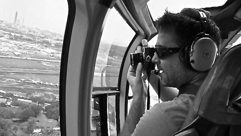
But suddenly, technology was offering something different.
For the first time, I could imagine moving my own camera freely through the sky, exploring perspectives that had previously required an aircraft or were simply beyond my reach.
I didn’t know where that curiosity would take me.
I only knew I wanted to explore it.
When Drones Were Still an Experiment
In October 2013, I attended the Drones and Aerial Robotics Conference at New York University.
It was a fascinating time to enter the emerging world of civilian drone technology.
Much of the public conversation focused on military applications, surveillance, and privacy. The word drone itself often carried negative associations.
Yet among the engineers, researchers, entrepreneurs, and photographers experimenting with these machines, I could see a different future.
What if we could use them to photograph landscapes from perspectives previously unavailable to independent photographers?
What if they could help scientists document environmental changes, create maps, or study places that were difficult to reach on foot?
And what if aerial technology could become an entirely new artistic medium?
I photographed the conference, including demonstrations of early DJI Phantom quadcopters. One of my photographs accompanied reporting by ProPublica about this emerging industry.
The photograph became part of a contemporary record of a technological shift that was just beginning to influence photography, journalism, and scientific research.
I was witnessing the beginnings of something extraordinary: the possibility that independent photographers could control not only what they photographed, but where their cameras traveled.

Learning to Fly, Learning to See
My early experiences with drone photography were very different from the relatively straightforward flying experience many people know today.
There were batteries, radio transmitters, stabilization systems, camera mounts, propellers, cables, and constant experimentation.
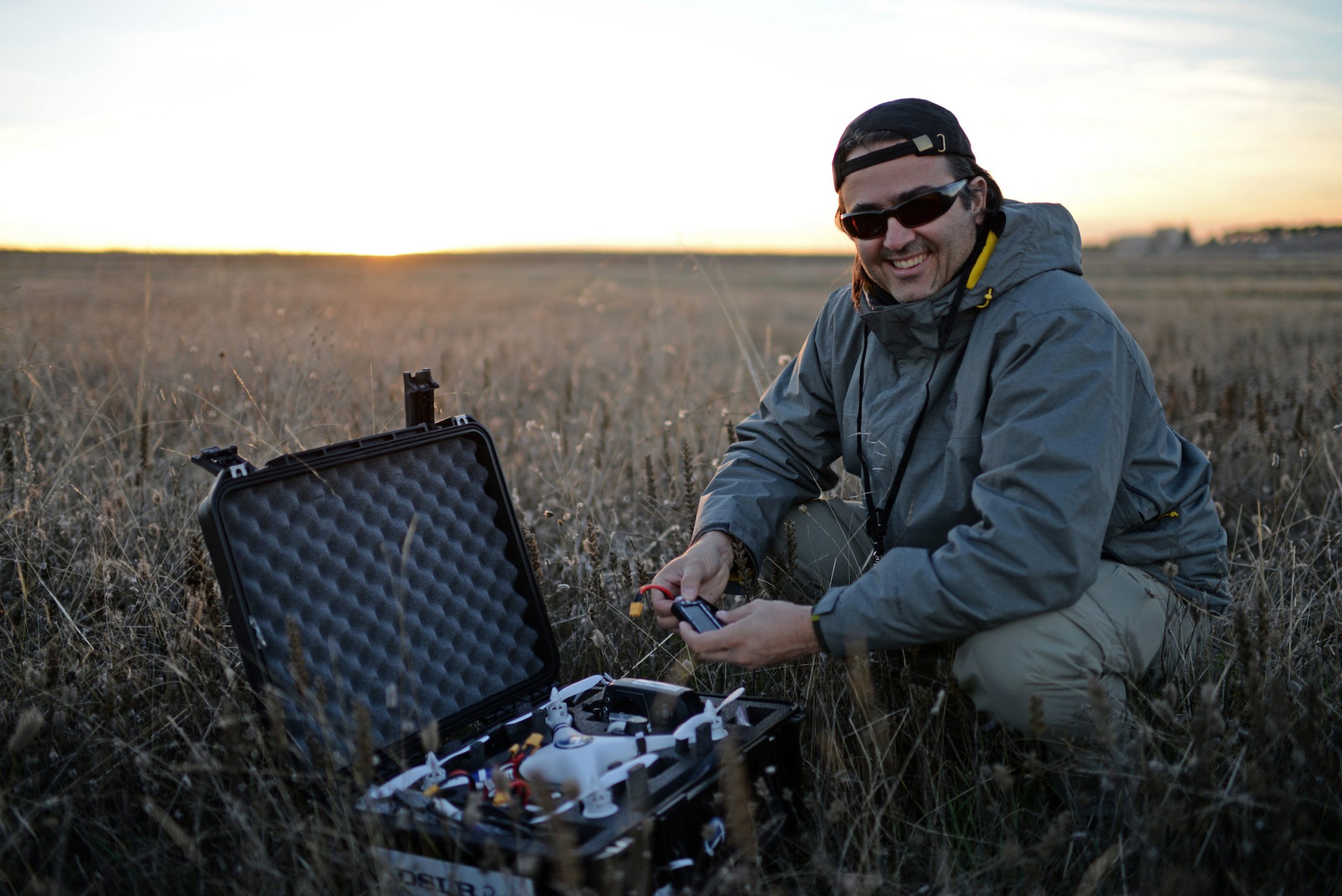
By December 2014, I was documenting a substantially upgraded DJI Phantom 2 equipped with a Zenmuse stabilized camera mount, a Futaba radio controller, modified motors, and a first-person-view system.
That last component was particularly exciting.
First-person view, or FPV, allowed me to see what the flying camera was seeing while it was in the air.
Instead of composing through a conventional viewfinder, I was learning to anticipate a photograph through a moving aircraft.
The relationship between photographer and camera was changing.
I experimented with equipment, explored new camera configurations, and followed the development of miniature racing quadcopters.
The challenges were real. Batteries were limited, equipment was delicate, and weather could quickly transform a promising flight into a difficult one.
But every successful experiment opened another possibility.
I wasn’t interested in flying simply for the sake of flying.
I wanted to discover what a camera in the sky could reveal.
A Different Perspective on Exploration
As my understanding of aerial photography grew, I began to see familiar landscapes differently.
A coastline that appeared fragmented from the ground could reveal extraordinary geometric patterns from above.

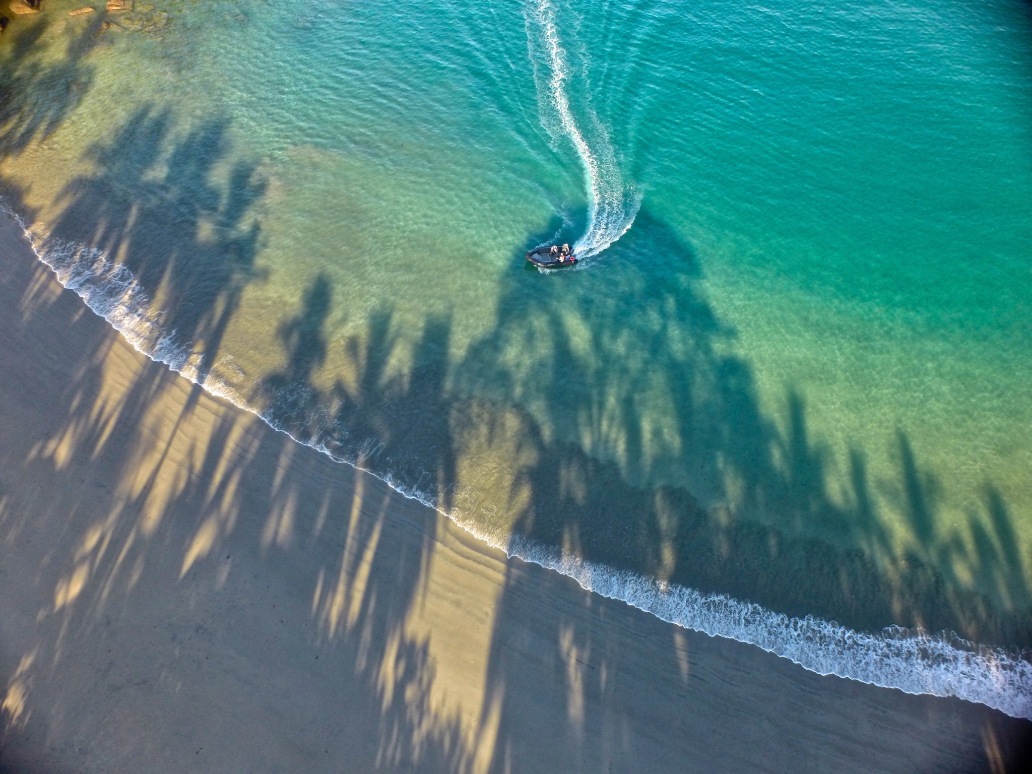
Vegetation, water, sand, and rock formed compositions that were nearly impossible to appreciate at eye level.
The camera could transform the ordinary into the unexpected.
Yet I also encountered skepticism.
Some naturalists and environmental professionals questioned the value of bringing flying machines into sensitive environments.
Their concerns were legitimate.
An aircraft could disturb wildlife, create risks for people, or distract us from the very nature we hoped to understand.
Those encounters helped shape an important conviction: the value of a drone depends on why, where, and how it is used.
A beautiful photograph is not automatically a responsible one.
Respect for wildlife, communities, regulations, and the surrounding environment must remain central to the photographic process.
This lesson would become increasingly important as my interest expanded from photography into conservation.
The Unexpected Beauty of Dance From Above
One of my most exciting discoveries was that drone photography could become a form of artistic expression.
Through my photographic project World of Dances, I had been exploring the relationship between movement, architecture, landscapes, and cultural identity.
I had photographed dancers in unusual locations, searching for compositions that connected the human body to its surroundings.
Then I began asking a new question.
What would happen if I photographed dancers from above?
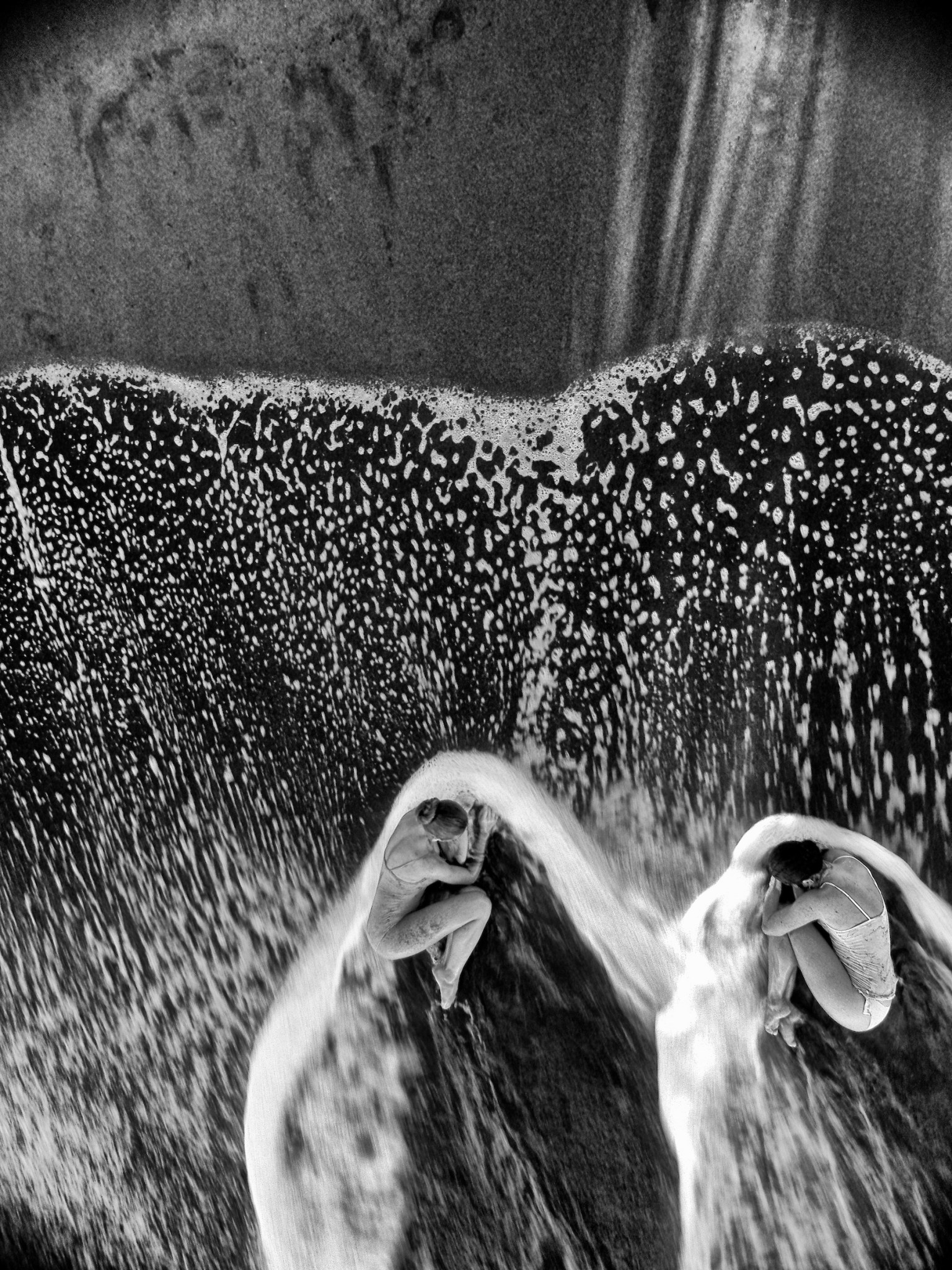
Suddenly, the dancer was no longer simply a figure against a landscape. The body became part of the landscape itself.
A shoreline could turn into an abstract pattern of waves and sand.
The lines of a building could become part of the choreography.
The movement of a dancer could be understood in relation to an entire environment.
I experimented with aerial compositions involving dancers in New York, including urban wetlands and architecturally distinctive locations.
In Costa Rica, I photographed dancers Lu Baltodano and Tahere Barinju Dada along the Caribbean coast near Tortuguero, where the movement of the sea became part of the composition.
I also collaborated with Gonzalo Garcia, then a principal dancer with New York City Ballet, exploring the relationship between human movement and expansive natural settings.
My essay Art and Dance in the Drone Age, originally published in 2015, documented this new creative direction.
For me, it marked an important turning point.
The drone was no longer simply a device for obtaining a higher viewpoint.
It had become another photographic language.

When Photographs Became Geographic Information
As I continued exploring aerial imagery, I became increasingly interested in possibilities beyond artistic expression.
A drone could document a coastline, but it could also help researchers investigate erosion.
It could photograph a forest, but repeated observations might help scientists study changes in vegetation.
And aerial photographs could reveal spatial relationships useful for archaeology, geographic surveys, and environmental management.
This led me toward photogrammetry, the process of using overlapping photographs to generate measurements, maps, and three-dimensional representations of physical places.
I found the concept extraordinary.

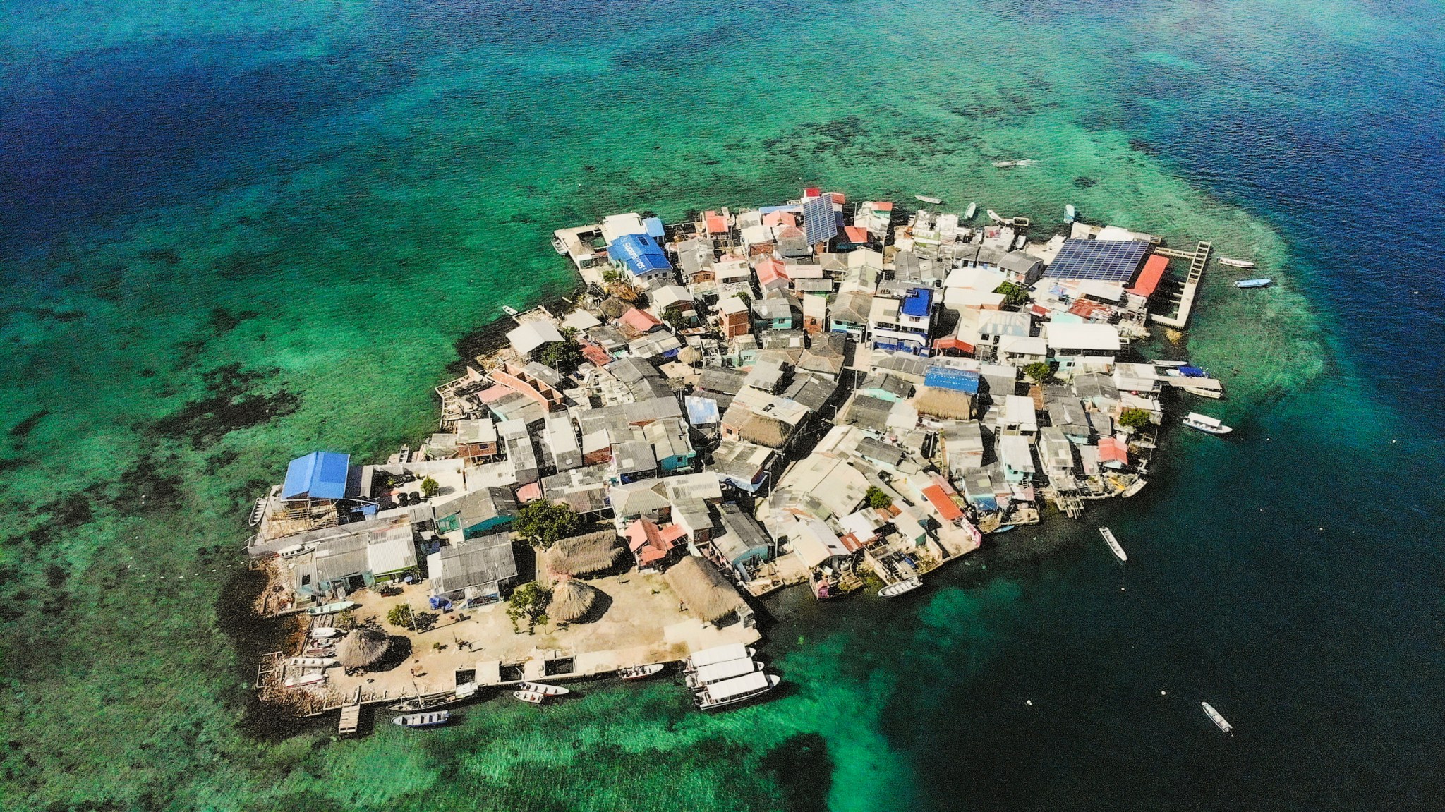
Photographs did not have to remain isolated visual records. Combined with appropriate software, methods, and expertise, they could become valuable spatial information.
I began exploring these applications in my writing and photography, looking for ways to connect technological innovation with research and storytelling.
A photograph could be beautiful.
It could communicate an important story.
And, under the right circumstances, it could become useful data.

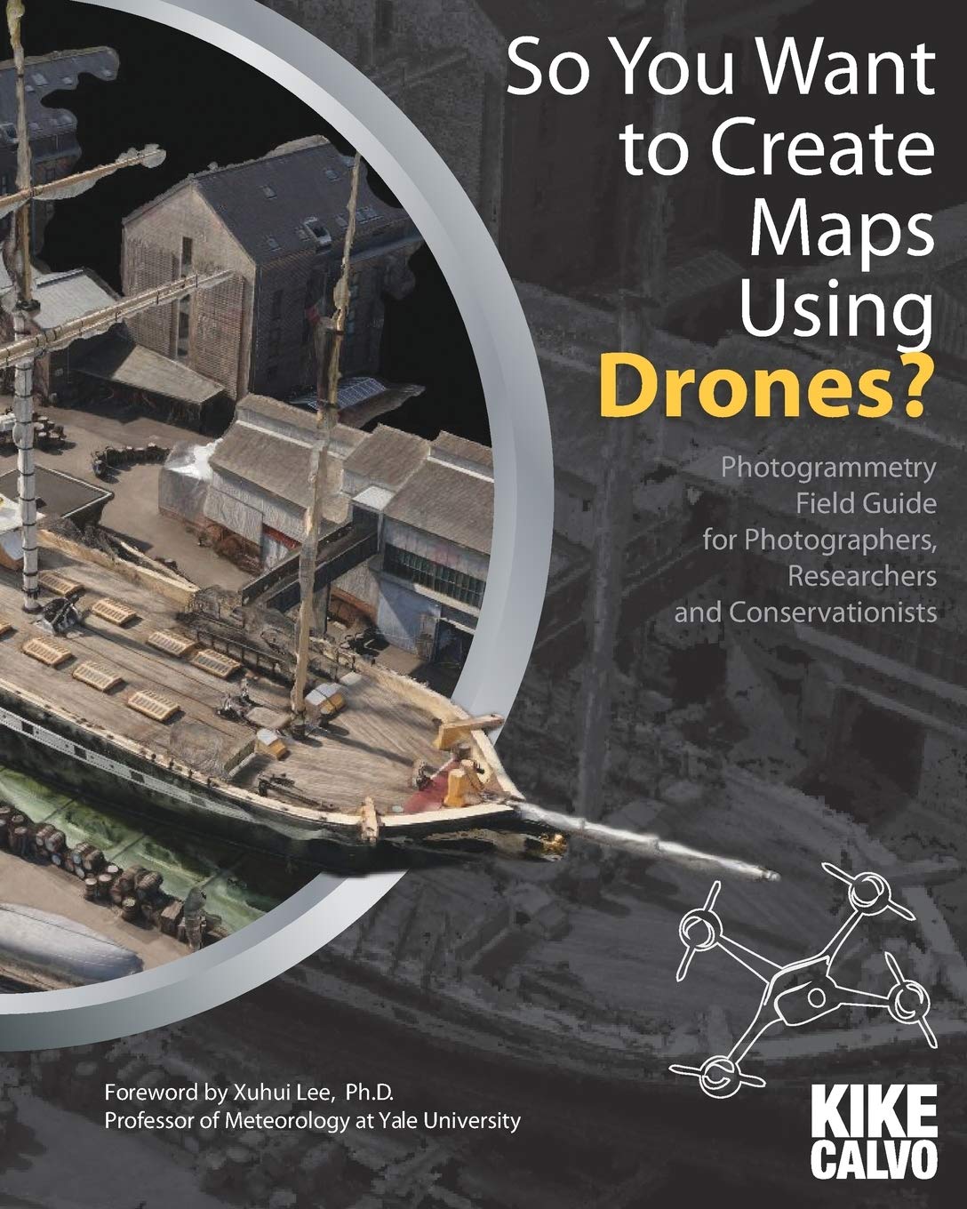
This growing fascination with photogrammetry led me to publish So You Want to Create Maps Using Drones? in September 2015, a field guide for photographers, researchers, and conservationists interested in the emerging possibilities of aerial mapping.
With a foreword by Xuhui Lee, professor of meteorology at Yale University, the book explored how drone photographs could be transformed into georeferenced maps, orthomosaics, and three-dimensional models.
For me, it represented another important step in understanding photography not only as an artistic language, but also as a practical tool for scientific research and environmental documentation.

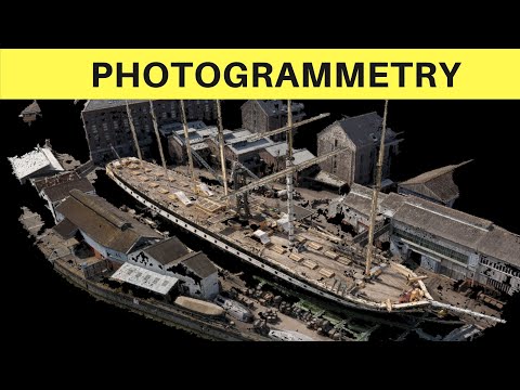
Watch: Introduction to Photogrammetry — Turning Photographs Into Maps
Years after my early experiments with aerial mapping, I created this educational presentation to explain some of the principles behind photogrammetry and its applications in science, geography, and environmental research.
The ability to transform overlapping photographs into useful geographic information opened an entirely new dimension in my understanding of photography.
Nepal: When Aerial Images Helped Rebuild Understanding
One of the most meaningful experiences of this period came in Nepal.
On April 25, 2015, a devastating earthquake struck the country, destroying buildings, damaging historic sites, and profoundly affecting communities.
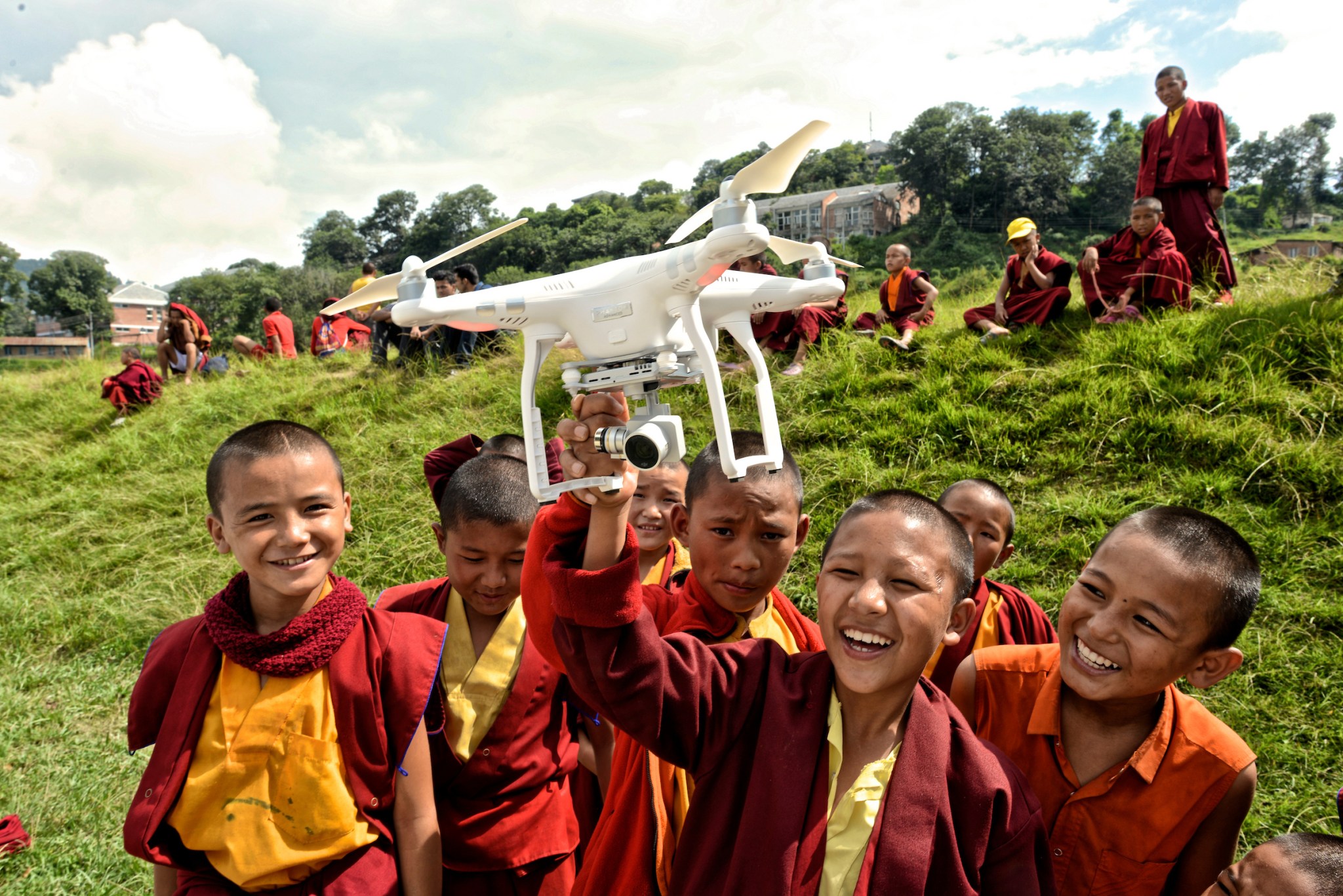
In September of that year, I traveled to Nepal to document a collaborative initiative involving Pix4D, DJI, the Humanitarian UAV Network (UAViators), Kathmandu University, Kathmandu Living Labs, and local partners.
My assignment was to document the experience photographically for Pix4D.
The initiative brought together technical specialists, students, and community representatives to explore how drones and image-processing software could support mapping, disaster preparedness, and reconstruction.
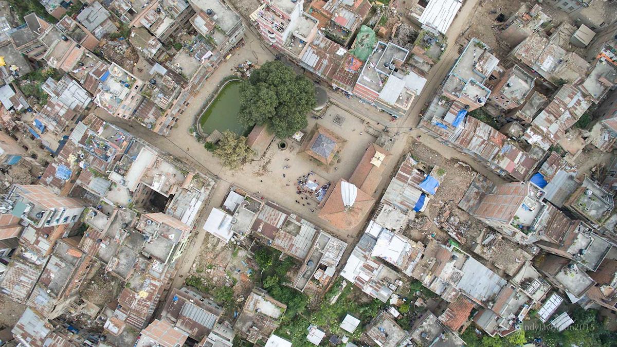
In Panga, a community severely affected by the earthquake, the mapping teams used DJI Phantom 3 aircraft to collect overlapping aerial imagery.
The photographs were processed to create high-resolution maps of the affected area.
Watch: Crisis Mapping in Nepal — A 2015 Documentary
This documentary by DJI captures the collaborative humanitarian mapping initiative in Nepal following the devastating April 2015 earthquake.
The project brought together Nepali students, local organizations, and international technology specialists to explore how aerial imagery could support disaster recovery and strengthen local mapping capabilities.
I participated in this initiative as a photographer, documenting the work and the people behind the technology.

Video courtesy of DJI. Nepal, 2015.
But the most important part of the project was not the equipment.
It was the transfer of knowledge.

Nepali students and local participants were learning techniques that could continue to be useful after the visiting teams had departed.
What stayed with me was the contrast between the technology and the human realities around us.
There were damaged buildings, debris, and communities working to rebuild their lives.
The drones and cameras were tools.
The people were the reason for being there.
For me, the experience reinforced a conviction that had been growing throughout my photographic career: technology becomes most meaningful when it empowers people.
Aerial imagery could provide more than a beautiful visual perspective. In the hands of trained local partners, it could contribute to a practical understanding of a changing landscape.
Conservation From a Bird’s-Eye View
Those early experiences also strengthened my interest in the environmental applications of small unmanned aircraft.
In 2016, I published Drones for Conservation: Field Guide for Photographers, Researchers, Conservationists and Archaeologists.

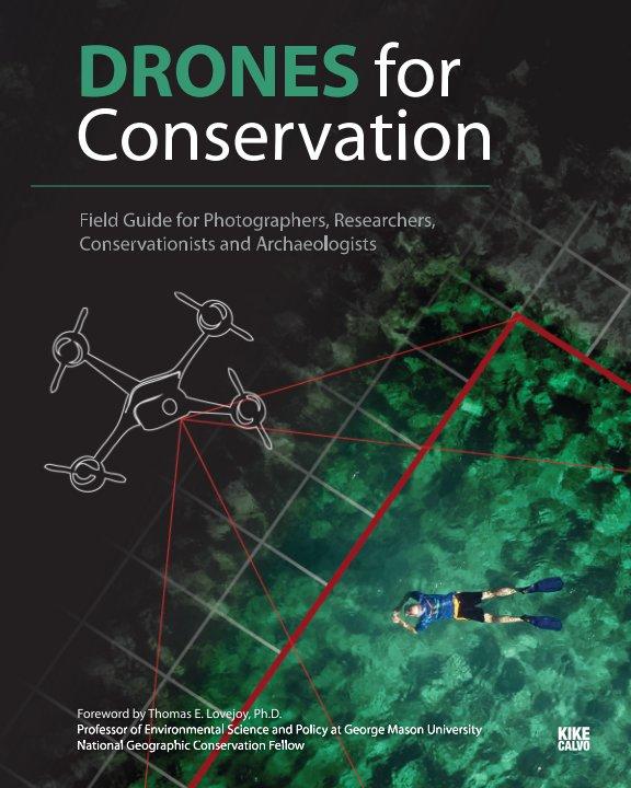
The book explored emerging uses of drone technology in environmental research, habitat documentation, conservation, and cultural heritage preservation.
It included a foreword by the late conservation biologist Thomas E. Lovejoy, whose work profoundly influenced modern biodiversity conservation.
The possibilities were compelling: monitoring habitats, documenting environmental changes, studying difficult terrain, and helping researchers collect visual information from locations that might otherwise be expensive or dangerous to access.

But I never believed that drones could replace the essential work of researchers on the ground.
Scientific methods, local knowledge, and careful fieldwork remained indispensable.
What these aircraft offered was another tool.
Another perspective.
Another way to ask questions about our changing planet.
And photography had an additional role to play: making complex environmental issues understandable to people far beyond the research site.
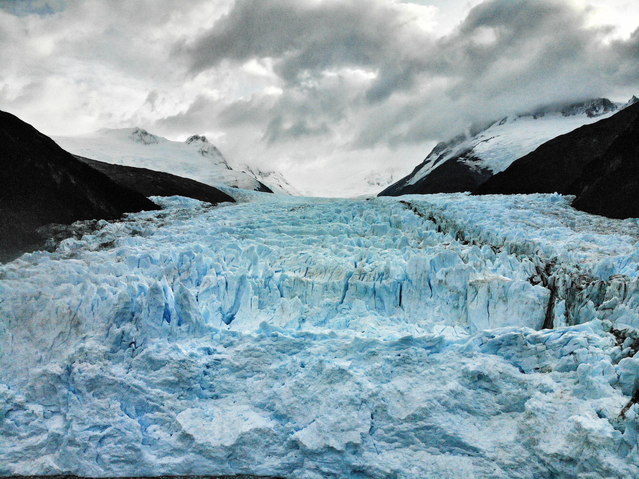
The same aerial image that helped document a landscape could also inspire someone to care about its future.
Further Viewing: Drones for Conservation
My early experiments with drone photography eventually led me toward a broader interest in environmental research and conservation.
In this presentation, I look back at the development of drone technology and share lessons from researchers working to protect wildlife and natural habitats.

Watch Drones for Conservation — Using Drones to Save the Planet
The Camera Was Never the Destination
Looking back at those early years, I remember the excitement surrounding every technical development.
A better camera mount.
A more stable aircraft.
A new radio system.
A way to see live images from the sky.
Each improvement opened another creative possibility.
Today, many of those capabilities are available in compact consumer drones that require a fraction of the experimentation once involved.
Yet the question that first drew me into aerial photography has never changed.
What can this technology help us understand?
My experiences with drones have connected photography with dance, mapping, research, education, and conservation.
They have also reinforced a lesson I have encountered repeatedly throughout my travels: technology is most valuable when it helps us observe more thoughtfully, work more responsibly, or contribute something useful to others.
The best aerial photographs are not necessarily the ones captured from the greatest height.
They are the ones that reveal something meaningful.
Sometimes they show us the extraordinary patterns of a landscape.
Sometimes they help us see a familiar subject differently.
And sometimes, as I discovered in Nepal, photographs can become part of a community’s effort to understand and rebuild its surroundings.
When I first took my camera into the sky, I thought I was discovering a new perspective.
I was.
But what I was really discovering was another way to explore the world.
Notes From the Archive
2013 — New York: Photographed the Drones and Aerial Robotics Conference at New York University. My work appeared alongside ProPublica’s reporting on the emerging industry.
2014 — Early drone experimentation: Documented my modified DJI Phantom 2, camera stabilization, Futaba controls, and first-person-view equipment.
2015 — Art and aerial photography: Published Art and Dance in the Drone Age, connecting drone photography with my long-running World of Dances project.
September 2015 — Nepal: Documented the collaborative drone-mapping and training initiative undertaken with Nepali institutions and international partners following the April earthquake.
September 2015 — Publishing My First Drone-Mapping Field Guide
Published So You Want to Create Maps Using Drones? Photogrammetry Field Guide for Photographers, Researchers and Conservationists, with a foreword by Yale University professor Xuhui Lee. The book explored how aerial photographs could be transformed into georeferenced maps, orthomosaics, and three-dimensional models for scientific and environmental applications.
2016 — Conservation: Published Drones for Conservation, exploring the potential of unmanned aircraft in environmental research and cultural heritage documentation.
Sources and Further Exploration
- ProPublica — Drone Makers Gather to Defend Their Much-Maligned Machines (2013)
- My Original 2014 Field Notes — Backing Up Aerial Footage
- My Original Essay — Art and Dance in the Drone Age
- Pix4D — Mapping Nepal: Drones and the Future of Disaster Relief
- DJI — Three Days Above the Clouds: Nepal
- My Reflections — Drones for Conservation
Photography and text © Kike Calvo.
Continue Exploring: A New Perspective on Our Planet
What began as an experiment with flying cameras eventually transformed the way I approach photography, exploration, and conservation.
In a companion essay for the LŪM Journal, I reflect on how aerial photography can reveal hidden patterns in nature, expand our understanding of landscapes and communities, and inspire more thoughtful exploration.
Read A Bird’s-Eye View: What Drone Photography Taught Me About Exploration and Conservation